Filter by area
Number of results:
Number of results: 42
, currently showing 1 to 20.
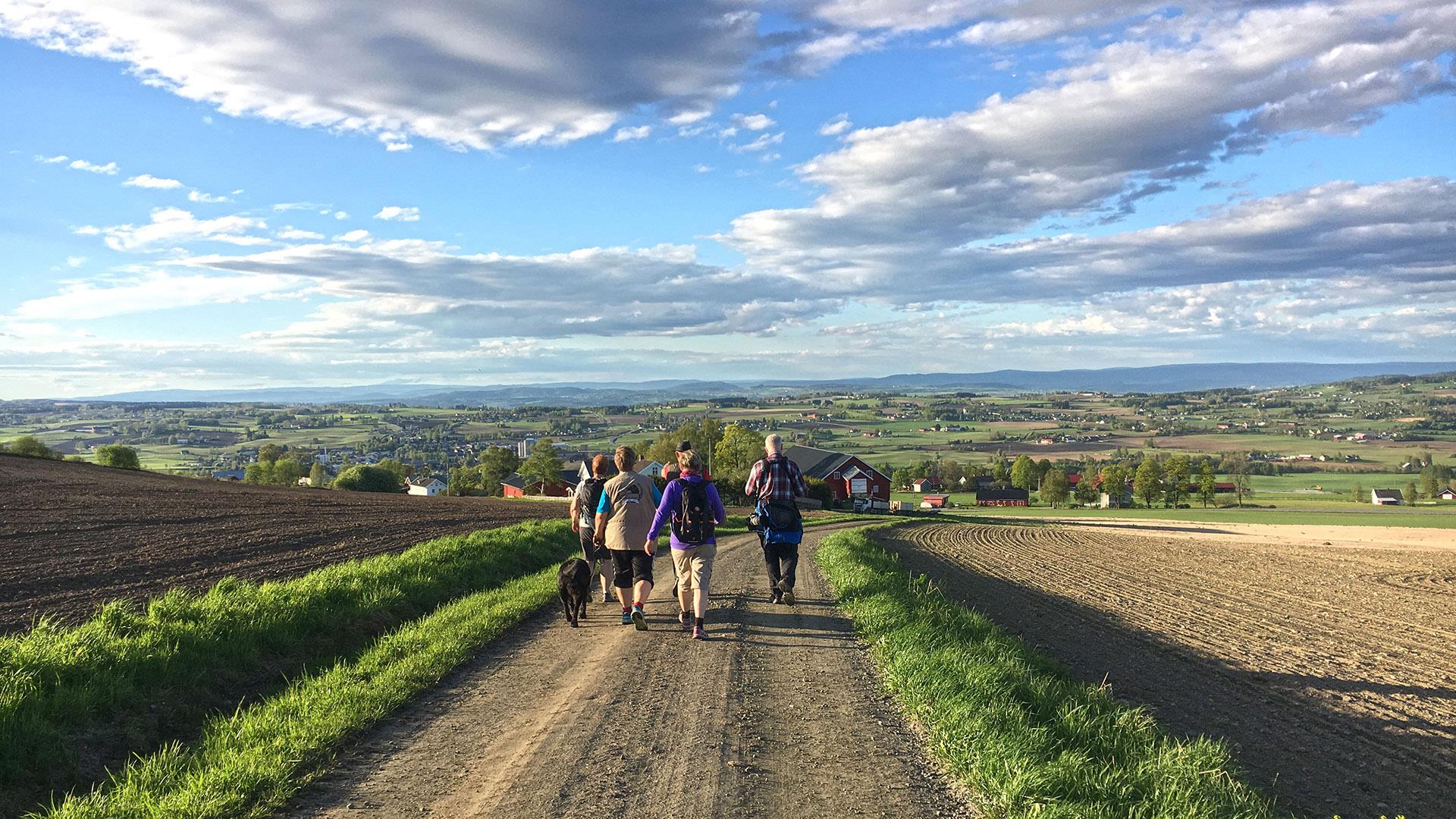
Trails in Toten: Balke - Skreia - Totenvika
Address
Jernbanetorvet 3
2821, GjøvikWelcome to a walk in one of Toten’s most beautiful cultural landscapes! The path meanders through areas of cultural monuments and great biodiversity.…

Totenåsen - Cross country skiing trails from Torsætra
Address
Jernbanetorvet 3
2821, GjøvikTotenåsen is a great area for skiing with 160 km of well prepared ski tracks. The ski season in Totenåsen starts earlier than lower down, and the…
Trevatn - biking route
Address
This is the biking route that goes around Trevatn.
You can start where Damvegen takes separates from county road 114. Ride south to Trevassdammen…
Telephone
+47 611 26 400Hervenknappen
Address
Totenåsen
2848, SkreiaThe beautiful Hervenknappen peak is situated in the Totenåsen hills in Østre Toten, 784 metres above sea level. From the summit you can see vast…
Bicycle tour around Toten
Address
Foreslått startsted: Gjøvik
2821, GjøvikCycling around Toten This trip takes you around the northern parts of Toten, primarily on calm roads and cycling paths. Expect varied surroundings…
Telephone
611 46 710Bergstoppen - Gjøvik
Address
Øverby
2825, Gjøvik"Shape up trail" at Vind and Øverby in Gjøvik.
Friskliv Senior-team has facilitated for hiking trails; "Sjeip øpp-trails". This is marked…
Telephone
611 46 710Lauhøgda in Vestre Toten
Address
Rundt i Vestre Toten
2830, RaufossVestre Toten has plenty to offer hiking enthusiasts. If you walk to the top of Lauhøgda, the highest mountain in Vestre Toten, you will be rewarded…
Cross country skiing from Vind Sports Field - Gjøvik
Address
Vestre Toten veg 523
2817, GjøvikVind Idrettspark - Gjøvik
Vind Idrettspark is located at Østbyhøgda, south of Gjøvik town centre, and is Innlandet’s largest sports complex. It…
Telephone
611 76 0345 short hiking trails from Gjøvik Train Station
Address
Jernbanetorvet 3
2821, GjøvikFrom Gjøvik Train Station you can attend 5 different short walks. The hiking trails are marked with signs.
This product is awaiting English…
Telephone
959 72 850Hiking to Tjuvåskampen
Address
Totenåsen
2848, SkreiaTjuvåskampen, 812 m above sea level, offers spectacular views of Toten and beyond. The entire peak hike takes approx. 2 hours incl. break. Route…
Telephone
611 46 710Rail tricycle rides - AS Valdresbanen
Address
Sykle fra Hov eller Dokka
2860, HovEver wanted to try cycling on rails?
Then you should try a rail tricycle ride on the railway line Valdresbanen, between Dokka in Nordre Land and Hov…Telephone
941 55 734Bicycle trip from Gjøvik to Granum Gård in Søndre Land
Address
Fra Gjøvik til Granumsveien 6
2862, FlubergEnjoy a beautiful bicycle ride from Mjøsa to Randsfjorden!


Telephone
930 84 702Easy hike along Ramberget near Gjøvik
Address
Start: Kollsvegen 43
2825, GjøvikEnjoy the view from Ramberget Ramberget located in the hills North of Gjøvik sports a magnificent view over Lake Mjøsa and Gjøvik town. This hike is…
Telephone
959 72 850Activites in Evjua "Strandpark" (Beach park)
Address
Totenvika
2848, SkreiaActivities and adventures in Evjua Strandpark Go sailing on lake Mjøsa, soak up the idyllic summer atmosphere or seek out those precious moments.…
Telephone
958 13 385Cross-country skiing trails from Osbakken and lake Skumsjøen
Address
Skumsjøvegen 590
2827, HunndalenGjøvik – Cross-country skiing from Osbakken / Skumsjøen Osbakken by Skumsjøen – beautiful skiing experience in flat and gentle terrain Osbakken is…
Telephone
959 72 850Øverby cross country skiing arena - Gjøvik
Address
Øverbyveien 95
2825, GjøvikØverby Cross country skistadium.
Øverby ski stadium is located on Gjøvik's roof approximately 4 kilometers from the city center. Here you will…
Telephone
908 36 072Bergstoppen - Gjøvik
Address
Vind
2825, GjøvikGjøvik – ‘Sjeip-øpp’ exercise trail at Vind I the forest at Vind, a shape-up trail has been created as part of the public physical activity…
Telephone
611 46 710Peak hike to the fire tower at Skjellingshovde in Søndre Land
Address
Turen starter ved Øyvasselva. Se veibeskrivelse i teksten.
2863, *odnesPractical info - Level of difficulty: moderate - Length: approx. 6 kilometres return (3 km each way) - Season: spring / summer / autumn -…
Telephone
611 26 400The pilgrim trail from Smørvika in Kapp to Steinsjå
Address
Startpunkt: Ved Smørvika i Kapp
2849, KappView or download route map (This is an extract of the Gudbrandsdalsleden vest pilgrims’ path map) The pilgrims’ path through Østre Toten:…
Telephone
611 41 500